 Cape Currents
Know where to look for fish.
Find ocean fronts where bait can gather. Compare water temperature, currents and depth to pick a starting point for your next Western Cape offshore trip.
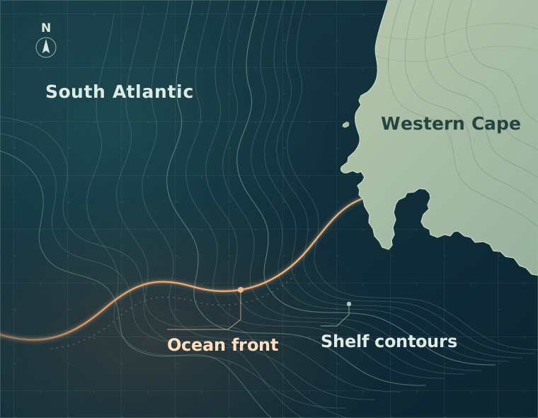
See how the water is changing.
An ocean front is a boundary between bodies of water. The FSLE layer helps reveal features where currents can bring water together and concentrate bait.
- Ocean fronts
- Scheduled every 6 hours
- Sea surface temperature
- Daily satellite analysis
- Surface currents
- 6-hour model snapshots
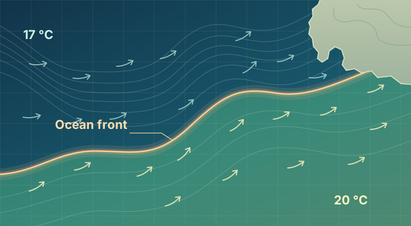
Select a point to compare the water.
A. Cooler water
- Sea temperature
- 17.1 °C
- Surface current
- 0.3 kn E
- Depth
- 240 m
B. Edge of the front
- Sea temperature
- 19.2 °C
- Surface current
- 0.6 kn NE
- Depth
- 145 m
C. Warmer water
- Sea temperature
- 20.4 °C
- Surface current
- 0.4 kn E
- Depth
- 110 m
Use official charts for navigation.
Access by invitation
Email us from the address you’d like to use for Cape Currents.
Request an invitationHow access works
- Request an invitation from the email address you want to use.
- We’ll email you when your access is approved.
- Use that email to sign in with a one-time code.
Need a hand?
For help with invitations or signing in, email us from the address you use for Cape Currents.
support@capecurrents.appDo I need to create an account?
Your approved email is your chart sign-in. Once you receive your invitation, go to Member sign-in to request a code.
What if my sign-in code doesn’t arrive?
Check that you used your approved email and look in spam or junk. You can request a fresh code on the sign-in screen.